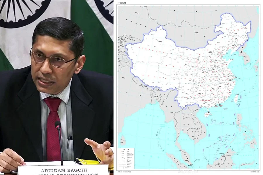
Before an important meeting of countries called the Group of 20 summit, India is expressing strong disagreement with China’s new map that says parts of India belong to China. This is making the situation worse because India and China have been in a military standoff for three years. The timing is important because the leader of China, President Xi Jinping, is planning to join this meeting. India’s spokesperson from the External Affairs Ministry, Arindam Bagchi, said that these claims by China are not true and don’t have a good reason. He also mentioned that China’s actions are making it harder to solve the border issue between the two countries.

On Tuesday, he mentioned that India had officially raised its concern using diplomatic channels with China about their new map for 2023. This map wrongly says that certain areas of India belong to China.
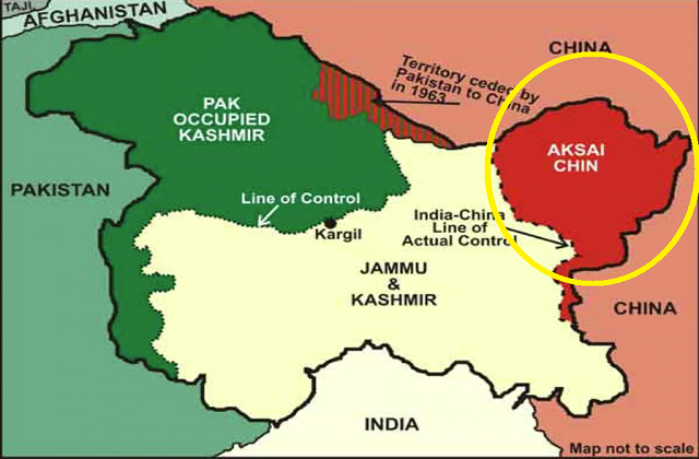
The Chinese map, found on the Ministry of Natural Resources’ website, clearly includes areas like Arunachal Pradesh and the Doklam Plateau. These places have been sources of disagreement between the two countries. The map wrongly shows these areas as part of China’s borders. Aksai Chin, located in the western part, is also on the map as part of China, although India believes it’s theirs.
India’s External Affairs Minister, Jai Shankar Subhramanyam, also rejected China’s claim in a television interview on Tuesday night. He stated that just saying something is yours doesn’t make it true.

China recently caused issues by not providing visas directly in the passports of officials from a state in India called Arunachal Pradesh. Instead, they used a separate stapled certificate. Additionally, China does not accept that India has control over its part of Kashmir. Furthermore, China didn’t send a delegation to a G20 meeting that took place in Srinagar in May.
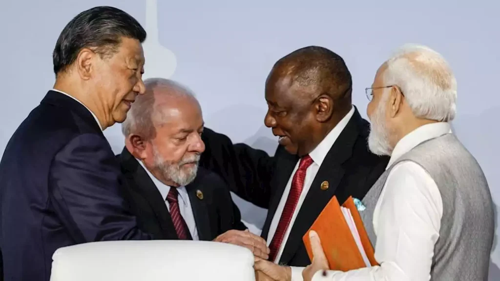
Last week, India’s Prime Minister Narendra Modi had a casual conversation with China’s President Xi during the BRICS summit in Johannesburg. During this talk, Modi expressed his worries about the ongoing border disagreements.
India’s foreign ministry explained that both leaders agreed to work harder to reduce tensions along the disputed border, where many of their soldiers are stationed.
For three years, there has been a disagreement about the border, and this has caused a standoff with thousands of Indian and Chinese soldiers in the Ladakh area. In a clash three years ago, 20 Indian soldiers and four Chinese soldiers died.

After their meeting, China’s Foreign Ministry said that both countries should think about their overall relationship and deal with the border problem wisely to keep peace in that area.
Earlier this month, military leaders from India and China met to try and make the situation more stable. The border that separates the areas controlled by China and India is called the “Line of Actual Control.” It runs from Ladakh in the west to a part of India called Arunachal Pradesh in the east, which China claims as its own.
In 1962, India and China had a war because they disagreed about their border. China believes it owns around 90,000 square kilometers of land in India’s northeastern region, including a place called Arunachal Pradesh, which has mainly Buddhist people. On the other hand, India thinks China has taken about 38,000 square kilometers of its land in an area called the Aksai Chin Plateau. India sees this area as a part of Ladakh, where the current standoff is occurring.

